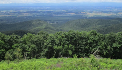
After visiting the Blue Ridge Tunnel, I proceeded to the south entrance of Shenandoah National Park, where I had entered the park this past Tuesday. This time, the weather was much better. I drove on Skyline Drive past the places from which I had taken pictures on Tuesday and proceeded to the Crimora Lake overlook. My focus wasn't very good, but the picture still shows the Shenandoah Valley west of the Blue Ridge, and the Alleghany Mountains on the other side.
My next stop was at the Moormans River overlook, which faces eastward. The body of water might be the Sugar Hollow Reservoir.
I continued northward and stopped at the Horsehead Mountain overlook, which looks westward. I could see three rocky treeless areas. A dead tree branch is in the foreground on the right.
Looking in a different direction shows several more rocky areas.
I stopped at Doyles River overlook, which faces southeastward.
My last stop was at Rockytop overlook, from which I saw another mountain with several rocky areas.
My last shot was in another direction from Rockytop overlook. Although my focus was again not very good, you can still tell how the terrain is shaped.
After taking these pictures, I proceeded northward on Skyline Drive, turned onto U.S. 33, and continued back to my undisclosed location.


No comments:
Post a Comment